Manang & Mustang Districts
Annapurna Circuit
A full circle around the Annapurna massif
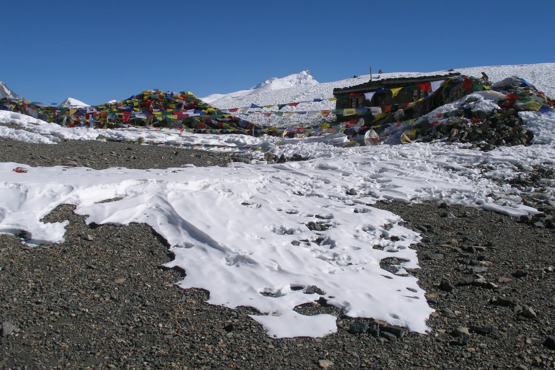
Sixteen days that change landscape almost daily: rice terraces and waterfalls in the low villages, pine forest into Manang, then the bare, wind-scoured approach to Thorong La itself. The pass crossing is long and cold, usually started before dawn, and it drops you into Mustang's high desert on the other side, a different country in every way but the passport. Natural hot springs at Tatopani take the edge off the descent.
- Duration
- 16 days
- Max altitude
- 5,416 m · Thorong La Pass
- Difficulty
- Strenuous
- Best seasons
- Mar – May, Oct – Nov
- Group size
- 2 – 12 trekkers
- Route
- Kathmandu to Kathmandu (drive Besisahar out, fly Jomsom back)
Trip highlights
- Cross the Thorong La at 5,416 metres, above the cloud line
- Natural hot springs at Tatopani after the pass
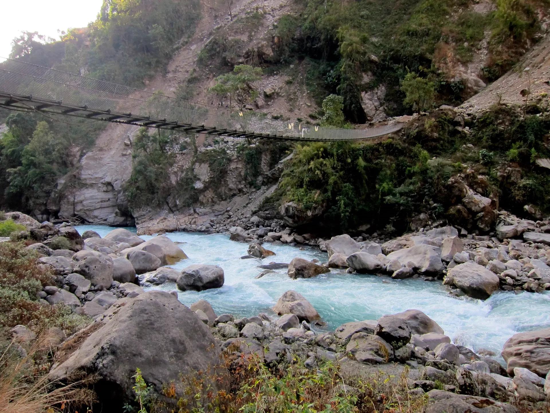
- The Kali Gandaki, the deepest gorge on earth
- Landscape shifts from jungle to high desert in a week
Annapurna Circuit · 16 days
The route, day by day
This is the exact itinerary our Annapurna Circuit groups follow, built around real acclimatisation, not a rushed schedule.
- 1
Drive to the trailhead
Drive to the trailhead
Kathmandu → Syange 1,400 m → 1,100 mA long, scenic drive along the Trisuli and Marsyangdi rivers to Syange, where the road ends and the trail begins.
- 2
Into the Manang valley
Into the Manang valley
Syange → Dharapani 1,100 m → 1,960 mWaterfalls and rice terraces give way to pine as the valley narrows, entering the Manang district proper.
- 3
Toward the high villages
Toward the high villages
Dharapani → Chame 1,960 m → 2,710 mA forested climb with the first real views of Annapurna II, ending in Chame, the district headquarters.
- 4
The Paungda Danda rock face
The Paungda Danda rock face
Chame → Pisang 2,710 m → 3,300 mApple orchards and a dramatic curved rock wall mark the approach into Pisang, the valley opening wide.
- 5
The high route to Manang
The high route to Manang
Pisang → Manang 3,300 m → 3,540 mThe upper trail via Ghyaru and Ngawal, slower but far better for acclimatisation, with constant views of Annapurna III and Gangapurna.
- 6
Acclimatisation day
Acclimatisation day
Manang 3,540 mA side hike up to the Gangapurna viewpoint or Ice Lake, high enough to matter, low enough to sleep safely afterward.
- 7
Above the tree line
Above the tree line
Manang → Yak Kharka 3,540 m → 4,050 mA short, deliberately easy day, the trees thinning out completely as the valley turns to scrub and rock.
- 8
To the foot of the pass
To the foot of the pass
Yak Kharka → Thorong Phedi 4,050 m → 4,525 mA steep, exposed climb to the staging point for tomorrow's crossing, with an early dinner and an early night.
- 9
Crossing the Thorong La
Crossing the Thorong La
Thorong Phedi → Thorong La → Muktinath 4,525 m → 5,416 m → 3,760 mA pre-dawn start for the pass itself, the trek's high point in every sense, then a long knee-testing descent into Mustang and the pilgrimage town of Muktinath.
- 10
Into Mustang's high desert
Into Mustang's high desert
Muktinath → Jomsom 3,760 m → 2,720 mWind-carved cliffs and a completely different palette, following the Kali Gandaki downstream past Kagbeni's medieval alleys.
- 11
Down the gorge
Down the gorge
Jomsom → Kalopani 2,720 m → 2,530 mFollowing the Kali Gandaki, the deepest gorge on earth, with Dhaulagiri and Annapurna I visible on either bank.
- 12
Hot springs at Tatopani
Hot springs at Tatopani
Kalopani → Tatopani 2,530 m → 1,190 mA long descent rewarded by natural hot springs, the first real chance to soak tired legs since Syange.
- 13
Into the rhododendron forest
Into the rhododendron forest
Tatopani → Ghorepani 1,190 m → 2,860 mThe trek's steepest sustained climb, through forest that turns solid red and pink when the rhododendron blooms.
- 14
Sunrise from Poon Hill
Sunrise from Poon Hill
Ghorepani → Poon Hill → Tikhedhunga 2,860 m → 3,210 m → 1,540 mA pre-dawn climb for the classic panorama of Dhaulagiri and the Annapurna range, then a long final descent through terraced farmland.
- 15
To Pokhara
To Pokhara
Tikhedhunga → Nayapul → Pokhara 1,540 m → 950 mThe last trekking morning ends at the Nayapul trailhead, with a short drive to Pokhara's lakeside for a proper rest.
- 16
Return to Kathmandu
Return to Kathmandu
Pokhara → Kathmandu 950 m → 1,400 mA short flight or scenic drive back to the capital, with the afternoon free before your onward journey.
Cost & what's included
per person, twin-share teahouse
$1,590
Included
- Airport pickup and drop-off in Kathmandu
- Kathmandu to Besisahar transport, Jomsom to Kathmandu flight
- Annapurna Conservation Area permit and TIMS card
- Teahouse accommodation for the full trek
- Three meals a day while on the trail
- A licensed English-speaking guide and porters (1 porter per 2 trekkers)
- Guide and porter wages, insurance, and equipment
- First-aid kit carried by your guide
Not included
- International airfare to and from Kathmandu
- Nepal entry visa fee (available on arrival)
- Travel and evacuation insurance
- Personal trekking gear
- Meals in Kathmandu outside the welcome dinner
- Hot springs entry fee at Tatopani
- Tips for your guide and porters
Upcoming departures
| Start date | Spots left |
|---|---|
| October 11, 2026 | 6 open |
| November 8, 2026 | 3 left |
| March 14, 2027 | 12 open |
| April 11, 2027 | 8 open |
Don't see a date that works? We also arrange private departures for groups of 2 or more.
Ready to walk among giants?
Tell us which trek and which season. A guide, not a call centre, will write back within two working days.
Plan Your TrekOr call +977 98-0123-4567 , Kathmandu office hours